WEATHER ALERTS
ENVIRONMENT CANADA
*************************
Extreme cold warning in effect for:
• Barrie - Collingwood - Hillsdale
• Midland - Coldwater - Orr Lake
• Orillia - Lagoon City - Washago
• Innisfil - New Tecumseth - Angus
• Orangeville - Grand Valley - Southern Dufferin County
• Shelburne - Mansfield - Northern Dufferin County
A prolonged period of very cold wind chills continues.
An Arctic ridge of high pressure continues to bring cold temperatures and brisk northwesterly winds to Southern Ontario.
Windchill values of minus 30 to minus 35 are forecast for this evening into Sunday morning. However Sunday will be the last day of the recent cold snap as temperatures moderate throughout the day and with a much milder week expected.
Extreme cold puts everyone at risk.
Cover up. Frostbite can develop within minutes on exposed skin, especially with wind chill.
Check on older family, friends and neighbours.
Keep emergency supplies in your vehicle such as extra blankets and jumper cables.
If it's too cold for you to stay outside, it's too cold for your pet to stay outside.
Watch for colour changes on fingers and toes, pain, numbness, a tingling sensation, or swelling. If present, move indoors and begin warming.
Extreme cold warnings are issued when very cold temperatures or wind chill creates an elevated risk to health such as frost bite and hypothermia.
Please continue to monitor alerts and forecasts issued by Environment Canada. To report severe weather, send an email to [email protected] or tweet reports using #ONStorm.
*************************
Weather advisory in effect for:
• Barrie - Collingwood - Hillsdale
• Innisfil - New Tecumseth - Angus
• Shelburne - Mansfield - Northern Dufferin County
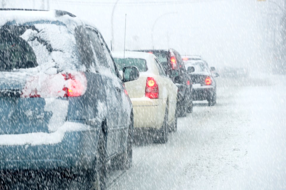
Winter weather travel advisory in effect today.
Strong northwesterly winds combined with persistent lake effect snow off Georgian Bay have resulted in local blowing snow and poor driving conditions.
As of 3 p.m., radar indicates a band of snow from Georgian Bay located west of Barrie near Collingwood, Stayner and extending southeastward towards highway 400. Poor visibilities remain possible under this persistent snow band.
The lake effect snow and local blowing snow are expected to persist this afternoon then weaken this evening.
Please continue to monitor alerts and forecasts issued by Environment Canada. To report severe weather, send an email to [email protected] or tweet reports using #ONStorm.
*************************