ENVIRONMENT CANADA
*************************
Special weather statement in effect for:
- Barrie - Collingwood - Hillsdale
- Midland - Coldwater - Orr Lake
A snowy weekend shaping up for much of Southern Ontario.
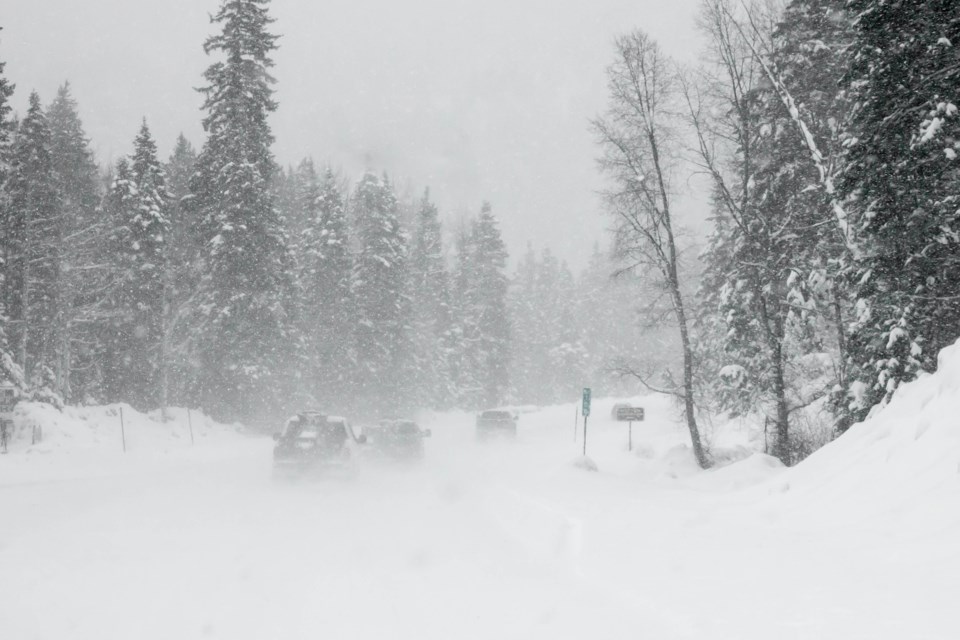
Periods of snow will gradually develop today and continue tonight and Sunday. Total snowfall amounts for the entire weekend will likely reach 15 centimetres. A few locales may exceed this amount especially near the Bruce Peninsula and to the east of Georgian Bay.
Total snowfall amounts for the entire weekend will likely reach 15 centimetres. A few locales may exceed this amount especially near the Bruce Peninsula and to the east of Georgian Bay.
Motorists should allow extra time to reach their destination due to accumulating snow and lower visibility in falling snow.
A snowfall warning may be issued if it appears amounts will be appreciably higher.
The snow affecting Southern Ontario this weekend is courtesy of a low pressure centre currently over the Dakotas. It is forecast to track across Georgian Bay early Sunday and into southern Quebec by evening. Although it is a relatively weak system, it will absorb some moisture from the Great Lakes tonight and Sunday.
Please continue to monitor alerts and forecasts issued by Environment Canada. To report severe weather, send an email to [email protected] or tweet reports using #ONStorm.
*************************


