WEATHER ALERT
ENVIRONMENT CANADA
*******************************
Snowfall warning in effect for:
• Barrie - Collingwood - Hillsdale
• Midland - Coldwater - Orr Lake
• Orillia - Lagoon City - Washago
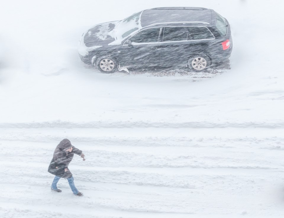
Snowfall with total amounts of 15 to 25 cm is expected.
Two rounds of snow are expected today into Tuesday morning across portions of southern Ontario.
The first one is expected this morning into early this afternoon with 5 cm of snow possible. Snow squall activity is possible near Georgian Bay which may result in higher amounts near 10 cm.
The snow may become light during the afternoon, however another round of heavier snow will move in this evening and persist into Tuesday morning. An additional 15 to 20 cm is likely.
Prepare for quickly changing and deteriorating travel conditions. Visibility may be suddenly reduced at times in heavy snow. Surfaces such as highways, roads, walkways and parking lots may become difficult to navigate due to accumulating snow.
Please continue to monitor alerts and forecasts issued by Environment Canada. To report severe weather, send an email to [email protected] or tweet reports using #ONStorm.
*******************************


