WEATHER ALERTS
ENVIRONMENT CANADA
*************************
Snow squall watch in effect for:
- Barrie - Collingwood - Hillsdale
- Midland - Coldwater - Orr Lake
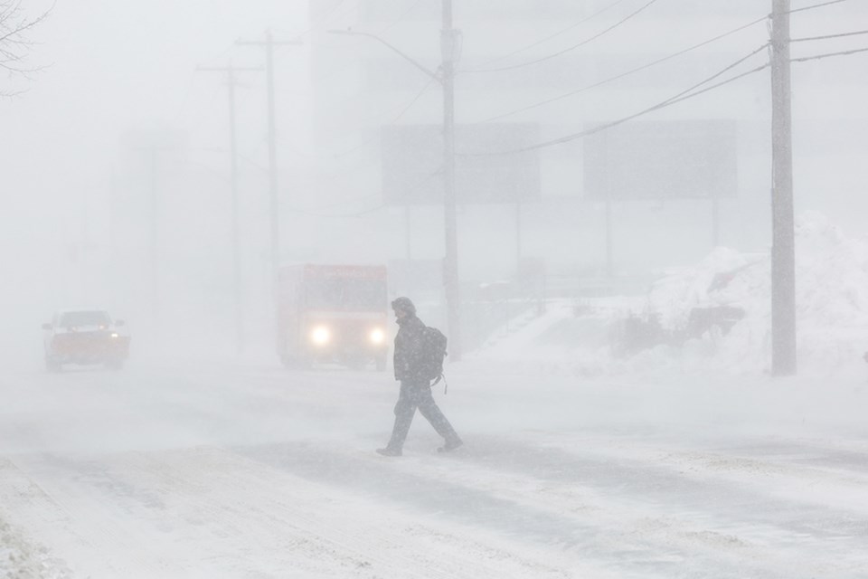
Snow squalls are expected to develop. Under the snow squall bands, visibilities will be significantly reduced due to the heavy snow, and snow will quickly accumulate.
First significant snow squalls of the season are expected Thursday evening into Friday.
Snow squalls are likely to develop to the southeast of Lake Huron and Georgian Bay Thursday evening and will persist well into the day Friday. Under the snow squall bands, visibilities will be significantly reduced due to heavy snow combined with blowing snow. Total snowfall accumulations in excess of 15 cm are possible for areas that receive multiple snow squalls.
A cold front will move over Southern Ontario prior to the development of snow squalls, which will rapidly reduce temperatures to the freezing mark. This will change rain showers to flurries, leading to locally icy surfaces near the afternoon rush hour.
Environment and Climate Change Canada is closely monitoring the situation and may issue snow squall warnings as required.
Travel may be hazardous due to sudden changes in the weather. Visibility may be suddenly reduced at times in heavy snow. Public Safety Canada encourages everyone to make an emergency plan and get an emergency kit with drinking water, food, medicine, a first-aid kit and a flashlight. For information on emergency plans and kits go to http://www.getprepared.gc.ca/
Snow squall watches are issued when conditions are favourable for the formation of bands of snow that could produce intense accumulating snow or near zero visibilities.
Please continue to monitor alerts and forecasts issued by Environment Canada. To report severe weather, send an email to [email protected] or tweet reports using #ONStorm.
*************************
Weather advisory in effect for:
- Orillia - Lagoon City - Washago
Winter Weather Travel Advisory in effect for Thursday afternoon.
The first accumulating snow of the season is expected. Snowfall and rapidly falling temperatures could affect road conditions Thursday afternoon.
A cold front is expected to track over Southern Ontario Thursday. As this front passes temperatures will drop and scattered rain showers will change to flurries. As a result, untreated surfaces could become icy and slippery Thursday afternoon and early evening.
Snowfall amounts of 2 to 5 cm are expected by late Thursday evening before the snow tapers to isolated flurries.
Please continue to monitor alerts and forecasts issued by Environment Canada. To report severe weather, send an email to [email protected] or tweet reports using #ONStorm.
*************************


