WEATHER ADVISORY
ENVIRONMENT CANADA
*************************
Snow squall watch in effect for:
- Barrie - Collingwood - Hillsdale
- Midland - Coldwater - Orr Lake
- Orillia - Lagoon City - Washago
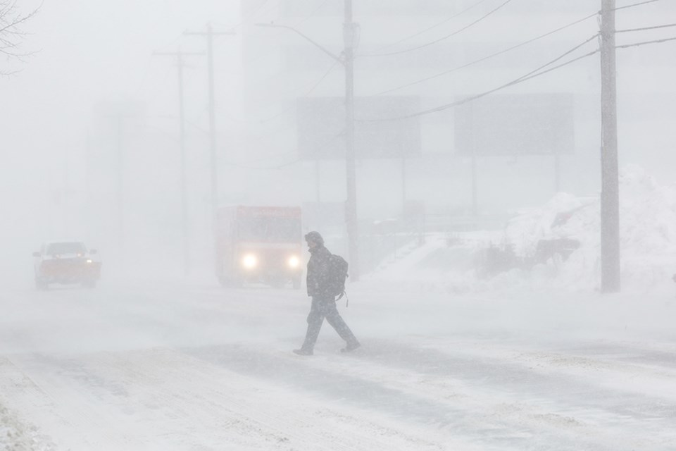
Snow squalls are likely to develop to the southeast of Georgian Bay by Friday morning.
Snowfall rates under the more intense snow squalls are expected to be in the range of about 10 to 15 cm per 12 hours. Strong northwesterly winds will also result in blowing snow at times.
Conditions are forecast to remain favourable for snow squalls from Friday morning until Saturday night.
Snow squalls cause weather conditions to vary considerably; changes from clear skies to heavy snow within just a few kilometres are common. Surfaces such as highways, roads, walkways and parking lots may become difficult to navigate due to accumulating snow.
Public Safety Canada encourages everyone to make an emergency plan and get an emergency kit with drinking water, food, medicine, a first-aid kit and a flashlight. For information on emergency plans and kits go to http://www.getprepared.gc.ca/
Snow squall watches are issued when conditions are favourable for the formation of bands of snow that could produce intense accumulating snow or near zero visibilities.
Please continue to monitor alerts and forecasts issued by Environment Canada. To report severe weather, send an email to [email protected] or tweet reports using #ONStorm.
*************************