WEATHER ALERT
ENVIRONMENT CANADA
**************************
Special weather statement in effect for:
• Barrie - Collingwood - Hillsdale
• Midland - Coldwater - Orr Lake
• Orillia - Lagoon City - Washago
• Innisfil - New Tecumseth - Angus
• Orangeville - Grand Valley - Southern Dufferin County
• Shelburne - Mansfield - Northern Dufferin County
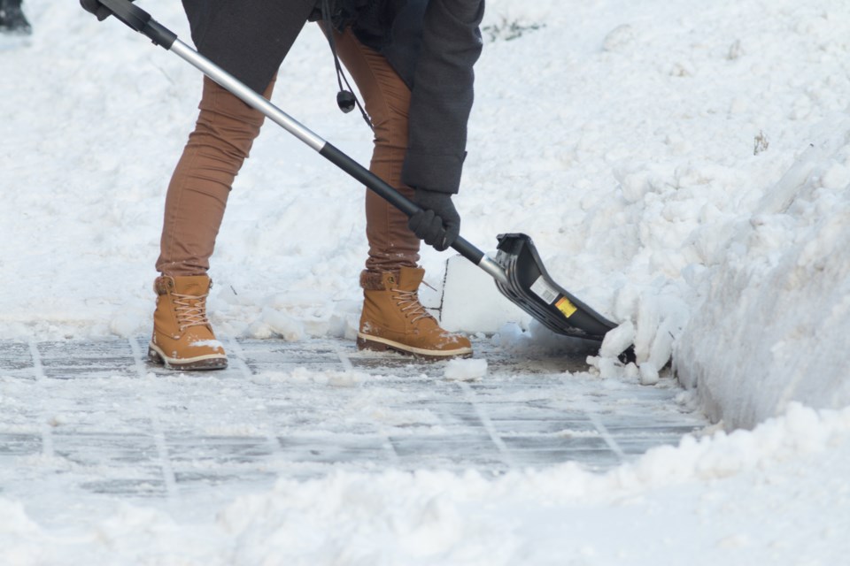
Snow continues over southern Ontario and will taper off from west to east today.
Snowfall totals will average about 10 cm with higher amounts to the northeast of the Great Lakes. However, the City of Toronto will see lower snowfall amounts of about 4 to 8 cm.
Untreated roads are expected to be slippery.
Please consult the public forecast for further details on snowfall timing and amounts.
Please continue to monitor alerts and forecasts issued by Environment Canada. To report severe weather, send an email to [email protected] or tweet reports using #ONStorm.
**************************


