Winter storm warning in effect for Barrie and freezing rain warnings in effect for areas south of us.
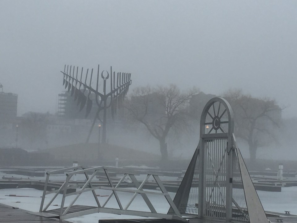
Chance of flurries today, fog patches clearing this morning, wind gusting to 40 km/h this morning, the high plus 2.
Snow mixed with ice pellets tonight, amount about 5 to 10 cm, wind gusting to 40 and the low -3.
Thursday snow mixed wth ice pellets changing to ice pellets in the morning then freezing rain in the afternoon, windy, high zero.
Here are the details of the winter storm warning in effect for:
- Barrie - Collingwood - Hillsdale
- Midland - Coldwater - Orr Lake
- Orillia - Lagoon City - Washago
Hazardous winter conditions are expected.
A Colorado low pressure is expected to track northeast across the Lower Great Lakes Thursday then into Northern New England by Friday, bringing with it significant amounts of snow, ice pellets and freezing rain.
The leading edge of the snow from this system will arrive this evening.
Such winter storms typically bring 20 to 30 cm of snow to regions that receive all snow, with lesser amounts of snow to areas that receive ice pellets and freezing rain.
Latest indications show that the heaviest snow will fall from the Bruce Peninsula to the Parry Sound and Haliburton areas tonight and especially Thursday.
In areas further south such as Owen Sound, Collingwood and Barrie, the snow may change over to ice pellets and freezing rain for a few hours, before changing back to snow Thursday night.
Ice accretions of 2 to 5 mm are possible in areas that receive a couple hours or more of freezing rain.
There is still some uncertainty in the exact track of this low, which will have an effect on how much snow falls at a particular locale, and how far north the freezing rain and ice pellets will move across the regions.
Driving conditions will quickly deteriorate after the snow arrive. Motorists should be prepared for hazardous winter driving conditions and adjust travel plans accordingly.
Untreated roads will become snow covered and slippery.
The winter storm will end on Friday in the wake of the low.
Surfaces such as highways, roads, walkways and parking lots may become difficult to navigate due to accumulating snow.
Visibility may be suddenly reduced at times in heavy snow. Poor weather conditions may contribute to transportation delays.
Winter storm warnings are issued when multiple types of severe winter weather are expected to occur together.
Please continue to monitor alerts and forecasts issued by Environment Canada.
To report severe weather, send an email to [email protected] or tweet reports to #ONStorm.


