WEATHER ALERT
ENVIRONMENT CANADA
***************************
Snow squall watch in effect for:
- Barrie - Collingwood - Hillsdale
- Midland - Coldwater - Orr Lake
- Orillia - Lagoon City - Washago
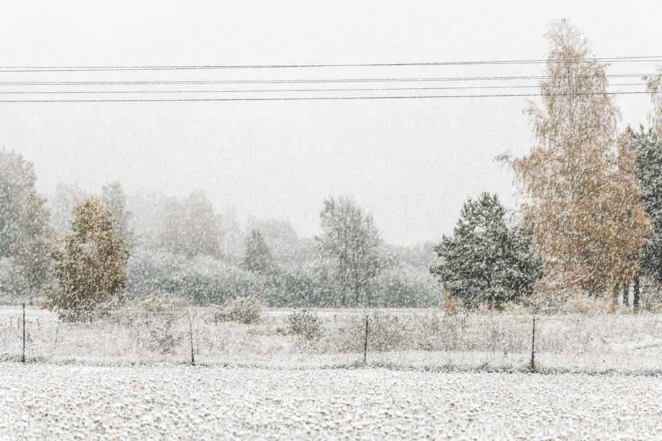
First heavy flurries and snow squalls of the season beginning early Sunday morning.
Locally heavy flurries and snow squalls are forecast to begin early Sunday morning. These flurries and snow squalls will last through Sunday night before weakening through the day on Monday.
By early Monday morning snowfall amounts in the 10 to 25 cm range will be possible, especially on grassy or untreated surfaces. Snowfall rates of two to four cm per hour will be possible, resulting in reduced visibility at times.
Motorists are advised to exercise caution as some roads and highways may become snow covered and slippery.
Visibility may be suddenly reduced at times in heavy snow. Surfaces such as highways, roads, walkways and parking lots may become difficult to navigate due to accumulating snow. Consider postponing non-essential travel until conditions improve.
Snow squall watches are issued when conditions are favourable for the formation of bands of snow that could produce intense accumulating snow or near zero visibilities.
Please continue to monitor alerts and forecasts issued by Environment Canada. To report severe weather, send an email to [email protected] or tweet reports using #ONStorm.
***************************


