SPECIAL WEATHER STATEMENT
ENVIRONMENT CANADA
*************************
Severe thunderstorm watch in effect for:
- Barrie - Collingwood - Hillsdale
- Midland - Coldwater - Orr Lake
- Orillia - Lagoon City - Washago
- Innisfil - New Tecumseth - Angus
- Orangeville - Grand Valley - Southern Dufferin County
- Shelburne - Mansfield - Northern Dufferin County
Conditions are favourable for the development of severe thunderstorms that may be capable of producing strong wind gusts and large hail.
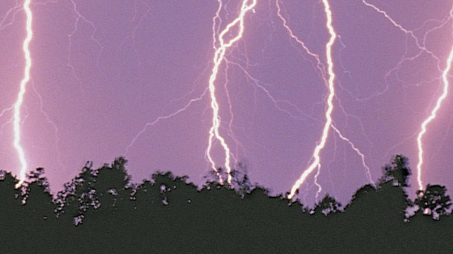
Large hail can damage property and cause injury. Strong wind gusts can toss loose objects, damage weak buildings, break branches off trees and overturn large vehicles. Remember, severe thunderstorms can produce tornadoes. Be prepared for severe weather. Take cover immediately, if threatening weather approaches. Lightning kills and injures Canadians every year. Remember, when thunder roars, go indoors!
Severe thunderstorm watches are issued when atmospheric conditions are favourable for the development of thunderstorms that could produce one or more of the following: large hail, damaging winds, torrential rainfall.
Emergency Management Ontario recommends that you take cover immediately, if threatening weather approaches.
Please continue to monitor alerts and forecasts issued by Environment Canada. To report severe weather, send an email to [email protected] or tweet reports to #ONStorm.
For more information:
http://www.emergencymanagementontario.ca/english/beprepared/beprepared.html.
*************************


