WEATHER ALERT
ENVIRONMENT CANADA
*************************
Special weather statement continued for:
Midland - Coldwater - Orr Lake, Ont.
Barrie - Collingwood - Hillsdale, Ont.
Owen Sound - Blue Mountains - Northern Grey County, Ont.
Listowel - Milverton - Northern Perth County, Ont.
Stratford - Mitchell - Southern Perth County, Ont.
Mount Forest - Arthur - Northern Wellington County, Ont.
Innisfil - New Tecumseth - Angus, Ont.
Current details:
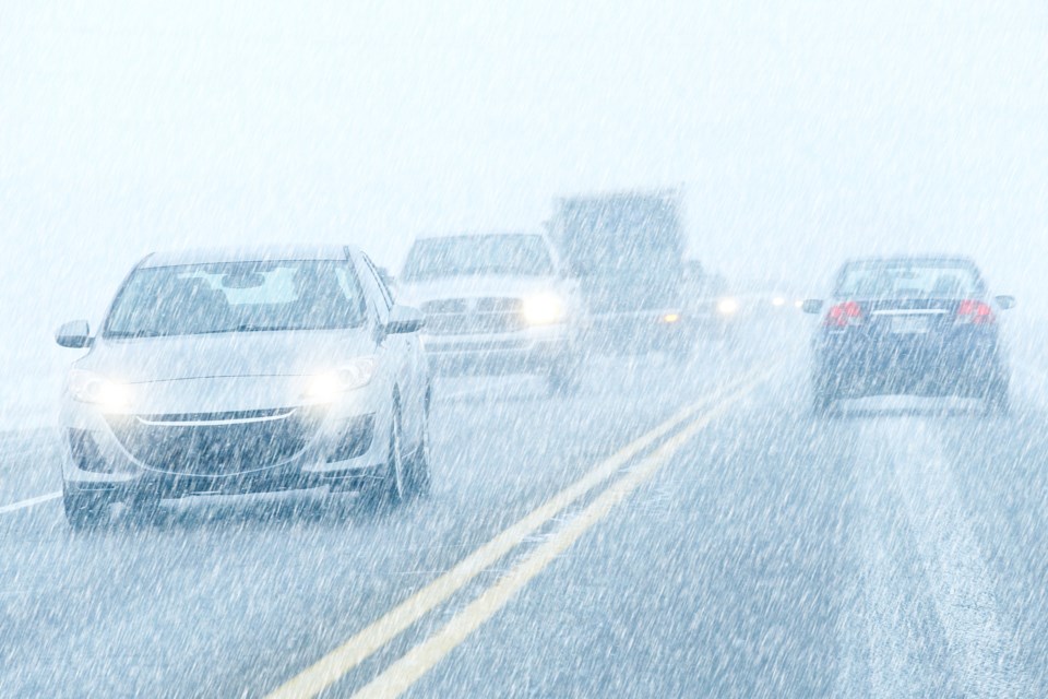
Significant rainfall continues today. Snow and local blowing snow tonight and Sunday.
Hazard:
Total rainfall amounts of 20 to 40 mm.
Local snowfall accumulations of 5 to 10 cm of snow.
Reduced visibility in snow and local blowing snow.
Timing:
Rain easing late this morning or this afternoon.
Flurries and local blowing snow developing after midnight or Sunday morning.
Discussion:
Rain is expected to come to an end through the day today. Lake effect snow will develop tonight as colder air moves into the area. 5 to 10 cm of snow and local blowing snow can be expected on Sunday.
For information concerning flooding, please consult your local Conservation Authority or Ontario Ministry of Natural Resources and Forestry office. Visit Ontario.ca/floods for the latest details.
Please continue to monitor alerts and forecasts issued by Environment Canada. To report severe weather, send an email to [email protected] or tweet reports using #ONStorm.
More details on the alert are available here.
*************************