WEATHER ALERT
ENVIRONMENT CANADA
*******************************
Special weather statement in effect for:
• Barrie - Collingwood - Hillsdale
• Midland - Coldwater - Orr Lake
• Orillia - Lagoon City - Washago
• Innisfil - New Tecumseth - Angus
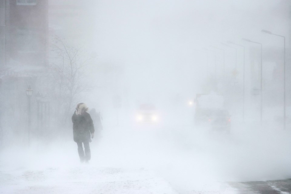
Snow expected early Thursday afternoon into Friday.
Hazards:
Snow with total snowfall amounts of 5 to 10 cm by Friday morning.
Reduced visibility in heavy snow.
Timing:
Early Thursday afternoon into Friday morning.
Impacts:
Hazardous travel conditions due to snow and reduced visibility.
Discussion:
A strong low pressure system is expected to affect southern Ontario later this week. Snow is expected to begin over the area early Thursday afternoon and continue overnight. Total snowfall amounts of 5 to 10 cm are expected. Snow will gradually taper to scattered flurries Friday morning.
Please continue to monitor alerts and forecasts issued by Environment Canada. To report severe weather, send an email to [email protected] or tweet reports using #ONStorm.
*******************************


