WEATHER ALERT
ENVIRONMENT CANADA
**************************
Extreme cold warning in effect for:
• Barrie - Collingwood - Hillsdale
• Midland - Coldwater - Orr Lake
• Orillia - Lagoon City - Washago
• Innisfil - New Tecumseth - Angus
• Orangeville - Grand Valley - Southern Dufferin County
• Shelburne - Mansfield - Northern Dufferin County
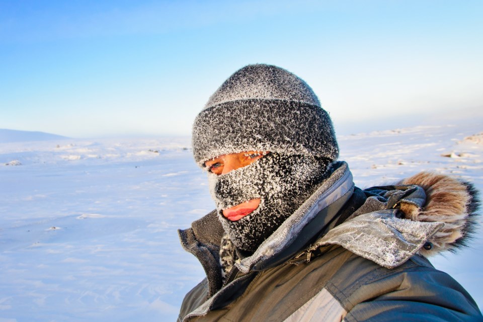
A prolonged period of very cold wind chills is expected.
An Arctic ridge of high pressure continues to bring cold temperatures and brisk northwesterly winds to Southern Ontario. Windchill values are not expected to recover too much today before dropping this evening and overnight to values ranging from minus 35 to minus 42.
Check on older family, friends and neighbours.
Keep emergency supplies in your vehicle such as extra blankets and jumper cables.
If it's too cold for you to stay outside, it's too cold for your pet to stay outside.
Watch for colour changes on fingers and toes, pain, numbness, a tingling sensation, or swelling. If present, move indoors and begin warming.
Extreme cold warnings are issued when very cold temperatures or wind chill creates an elevated risk to health such as frost bite and hypothermia.
Please continue to monitor alerts and forecasts issued by Environment Canada. To report severe weather, send an email to [email protected] or tweet reports using #ONStorm.
**************************


