ENVIRONMENT CANADA
**************************
Snow squall warning in effect for:
- Barrie - Collingwood - Hillsdale
- Midland - Coldwater - Orr Lake
- Orillia - Lagoon City - Washago
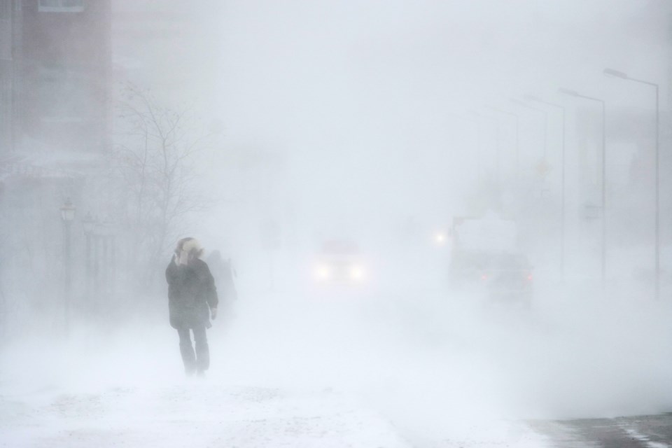
Snow transitioning to heavy snow squalls tonight.
Snow currently over the area will transition to heavy snow squalls this evening into tonight. These intense snow squalls will continue into Saturday before weakening later in the day. Winds will also gust up to 60 km/h through the period resulting in blowing snow, particularly over exposed areas.
Hazards:
Locally 15 to 40 cm of snow by Saturday evening.
Quickly accumulating snow of 5+ cm per hour at times
Poor visibility in heavy snow and blowing snow
Impacts:
Travel is likely to be hazardous tonight through Saturday.
Snow squalls cause weather conditions to vary considerably; changes from clear skies to heavy snow within just a few kilometres are common. Travel is expected to be hazardous due to reduced visibility in some locations. Be prepared to adjust your driving with changing road conditions.
Please continue to monitor alerts and forecasts issued by Environment Canada. To report severe weather, send an email to [email protected] or tweet reports using #ONStorm.


