ENVIRONMENT CANADA
SPECIAL WEATHER STATEMENT
*************************
Special weather statement in effect for:
- Barrie - Collingwood - Hillsdale
- Midland - Coldwater - Orr Lake
- Orillia - Lagoon City - Washago
- Innisfil - New Tecumseth - Angus
Winter weather threatening this week.
Despite the calendar clearly showing that it's officially spring, and despite the fact that springlike weather has been with us for most of the past two weeks, mother nature has decided to remind us that winter weather is a totally normal part of early spring around the Great Lakes.
This week will be no exception to that rule.
A weak disturbance moving along the line of an arctic front draped across the region will bring a coating to a few centimetres of snow to areas north and east of the Greater Toronto Area into Eastern Ontario on Tuesday.
A cold rain or a rain-wet snow mix is expected across much of the Golden Horseshoe, and just a few showers and mild April like temperatures will be experienced in Southwestern Ontario.
However a stronger low pressure system is expected to emerge from Colorado on Tuesday and then track towards Southern Ontario.
This late season winter storm is threatening to bring significant amounts of precipitation to Southern Ontario. Latest indications suggest significant snow is possible over areas extending from Lake Huron and Georgian Bay across northern parts of the Greater Toronto Area into Eastern Ontario.
Freezing rain and ice pellets may be a significant issue to deal with across a large part of Southwestern Ontario, the Golden Horseshoe and parts of Eastern Ontario. A significant rainfall may be an issue to deal with over locales closer to Lake Erie.
Considerable uncertainty remains with the exact track of this Colorado low.
Even a slight northward or southward shift in the track of this storm will affect how much snow, freezing precipitation or rain falls at any particular location.
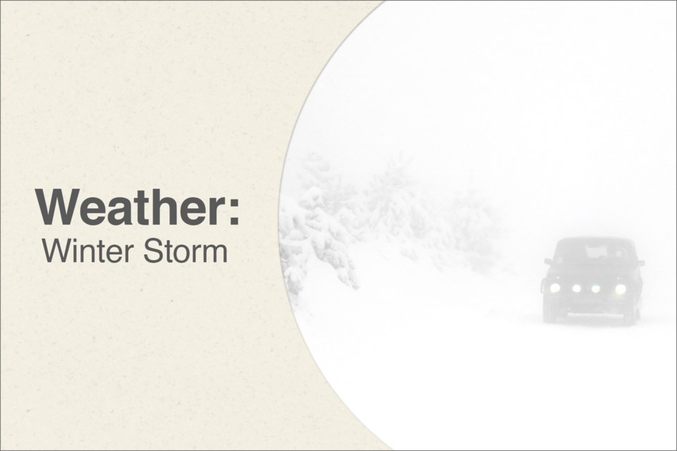
Motorists should be prepared for a return to hazardous winter driving conditions this week, especially in areas that receive freezing precipitation or snow.
Please continue to monitor alerts and forecasts issued by Environment Canada. To report severe weather, send an email to [email protected] or tweet reports to #ONStorm.
*************************