WEATHER ALERT
Environment Canada
*************************
3:23 PM EST Saturday 09 January 2016
Snow squall watch in effect for:
- Barrie - Collingwood - Hillsdale
- Midland - Coldwater - Orr Lake
- Orillia - Lagoon City - Washago
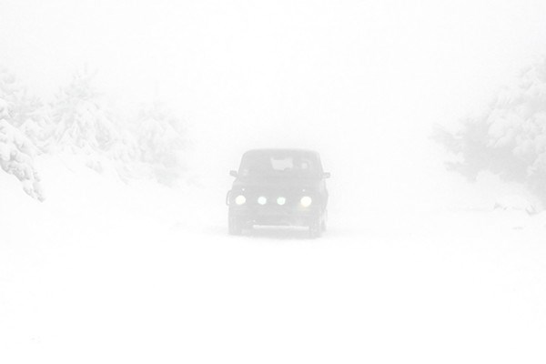
Snow squalls are expected to develop. Under the snow squall bands, visibilities will be significantly reduced due to the heavy snow combined with blowing snow, and snow will quickly accumulate.
An arctic cold front will sweep through southern Ontario Sunday night. Cold air and strong northwesterly winds over the open waters of Lake Huron and Georgian Bay will result in the development of snow squalls Sunday night through Monday.
Heaviest squalls could produce snowfall amounts of 10 to 15 cm per 12 hours along with reduced visibilities.
Snow squalls cause weather conditions to vary considerably; changes from clear skies to heavy snow within just a few kilometres are common. Visibility may be suddenly reduced at times in heavy snow. Consider postponing non-essential travel until conditions improve.
Please continue to monitor alerts and forecasts issued by Environment Canada. To report severe weather, send an email to [email protected] or tweet reports to #ONStorm.
*************************


