SPECIAL WEATHER STATEMENT
ENVIRONMENT CANADA
*************************
Special weather statement in effect for:
- Barrie - Collingwood - Hillsdale
- Midland - Coldwater - Orr Lake
- Orillia - Lagoon City - Washago
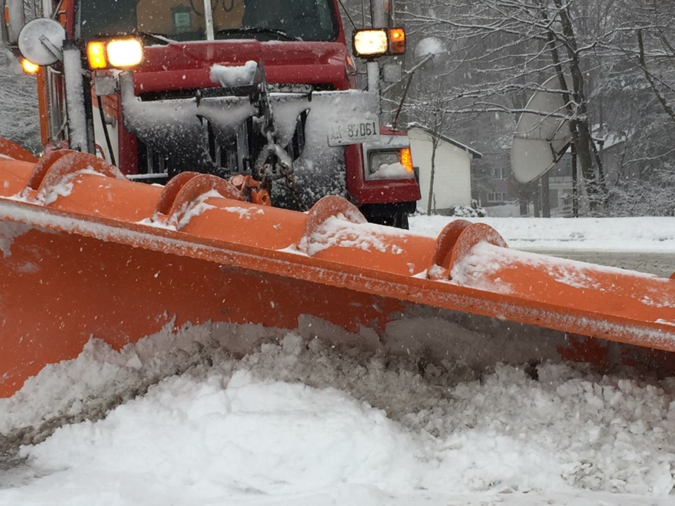
First significant lake effect snow event of the season on the way Thursday night through Friday.
The coldest air of the season will be ushered in by strong westerly winds beginning Thursday.
Snow squalls will rapidly develop over the Great Lakes, and will quickly come ashore and affect many communities across Southern and Central Ontario beginning Thursday night.
The snow squalls will drift around as the winds become more northwesterly later this week, with latest indications suggesting potential for a strong snow squall off of Georgian Bay into Simcoe County, and another strong snow squall or two from Lake Huron into Huron, Middlesex and Lambton Counties of Southwestern Ontario.
Significant accumulating snow is possible from the strongest snow squalls.
Hazardous winter driving conditions from heavy snow and blowing snow are anticipated to begin Thursday.
Motorists planning travel into the regions should be prepared to change plans accordingly.
Please continue to monitor alerts and forecasts issued by Environment Canada.
To report severe weather, send an email to [email protected] or tweet reports to #ONStorm.
*************************


