A massive plan in the city’s south end for more than 800 homes, an elementary school, neighbourhood park, a high-density residential block, businesses and possibly a secondary school was unveiled to councillors, Monday night.
A public meeting was held at city hall to discuss rezoning and subdivision draft-plan applications on the project, which includes 839 residential units at 124, 180 and 228 McKay Rd. W.
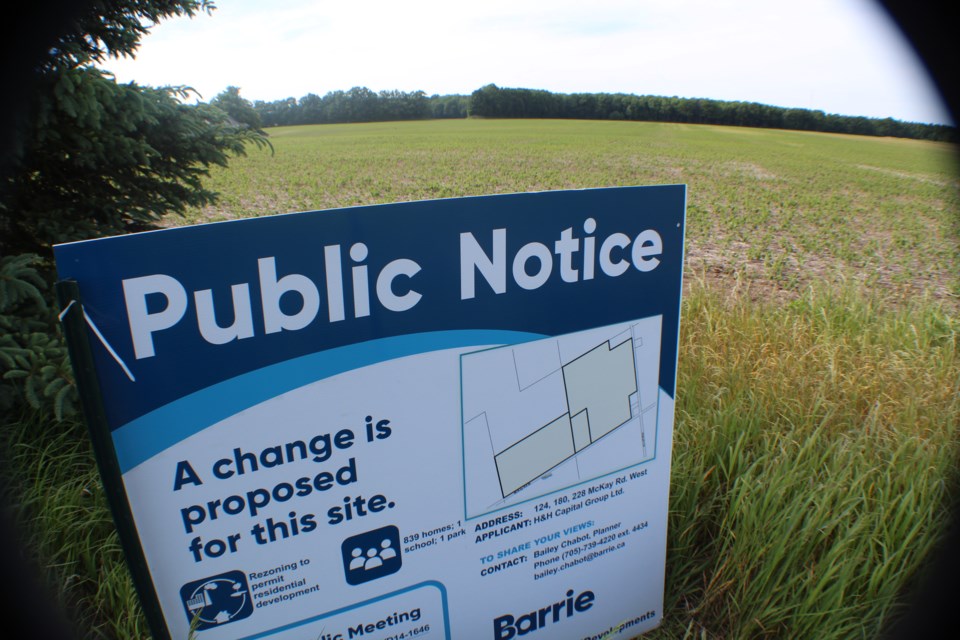
This land, which is located at the northwest corner of the intersection of McKay Road West and Veterans Drive, was formerly part of Innisfil before it was turned over to Barrie by the province.
Darren Vella, from Innovation Planning Solutions, made the presentation on behalf of Capital Group Ltd., which has applied to rezone the 86-acre parcel of land from agricultural to neighbourhood residential and mixed use, institutional education and open space.
The two-phase development would have a mix of housing, including single-detached homes, townhouses of various sizes, along with apartment buildings. There would be a central park, amenity spaces and a school, along with future connection to public transit and active transportation networks.
Coun. Sergio Morales said the development’s north-south road reminds him of Livingstone Street, Loon Avenue and Hurst Drive when it comes to fast-moving vehicles.
“Is there any speeding prevention or speeding mitigation … that you’re looking to incorporate,” Morales asked, “or does this become that raceway street that becomes problematic?”
Vella said there is a large environmentally protected area to the west, “so the location of that road is really fixed based on that environmental feature.
“What we did try and do is at least place some homes with direct frontage onto the road,” Vella added. “When there’s more interaction on the street ... that tends to slow vehicles down.
"But in some cases, if the road allowance is built too wide, it doesn’t do the job.”
City planner Bailey Chabot updated council on the status of the application, which includes staff conducting a technical review.
“While the application is consistent with the land-use designations, as identified in the Salem Secondary Plan, there are some more detailed land-use planning items that I’d like to highlight,” she said.
City staff is looking into the size and configuration of the proposed neighbourhood park, low-impact development, lot layout and design, as well as the build form and density.
In relation to low-impact development, Chabot said staff is looking at ways to integrate more natural solutions to storm-water management.
“In regards to the lot layout and design, as well as the proposed build form and density, staff are reviewing those to ensure compliance with provincial and municipal policy, while also ensuring that the development is co-ordinated with the surrounding development that has been previously approved,” Chabot said.
Local landowners were contacted in April with an offer to meet to discuss the applications. Four local residents within the vicinity of the proposed project were contacted, but no residents requested a meeting.
A public meeting is one of the first steps in Barrie’s planning process. These applications now go to city planning staff for a staff report for general committee’s consideration. Planning staff has targeted January 2019 for their report on the proposed zoning bylaw amendment.


