Skip to content

Good morning Barrie! Squall warning in effect

2017-12-25 morning pic 1
Boxing Day will be snowy and cold. Wind chill -20 this morning. Sue Sgambati/BarrieToday

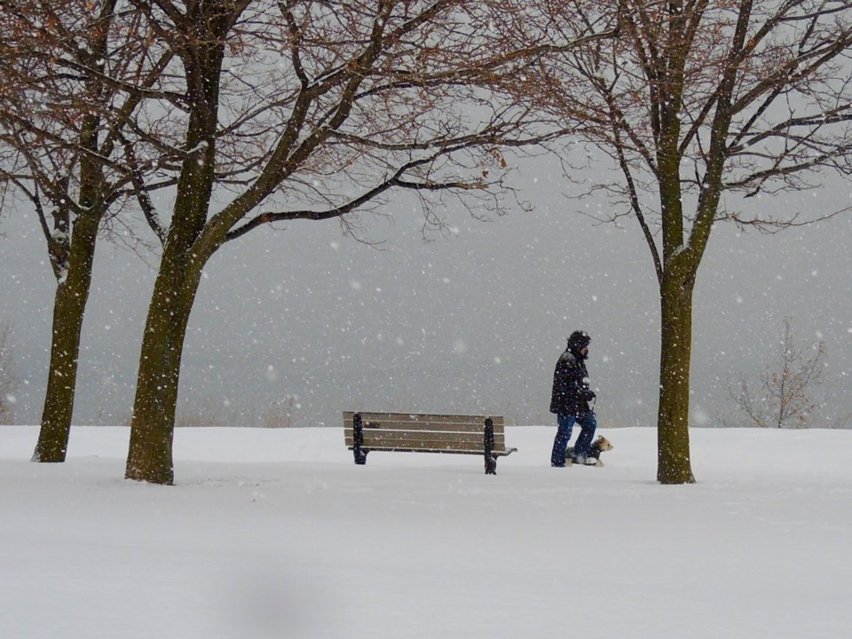
Flurries or local snow squalls today. Local amount 15 to 25 cm. Wind west 20 km/h gusting to 40 becoming light this afternoon.

Temperature steady near minus 15.

Here are the details for the snow squall warning issued by Environment Canada:

4:44 AM EST Tuesday 26 December 2017

Snow squall warning in effect for:

  • Barrie - Collingwood - Hillsdale
  • Midland - Coldwater - Orr Lake
  • Orillia - Lagoon City - Washago

The intense snow squalls have reached Midland to Lake Couchiching and will continue to drift to the south today. Snow squalls will persist today with additional significant amounts possible. Some areas may receive 15 to 25 cm. Snowfall rates of several centimetres per hour are likely under the most intense bands.

Snow squall conditions near Georgian Bay are expected to persist for much of the week due to the presence of a very cold Arctic air mass.

Prepare for quickly changing and deteriorating travel conditions. Visibility will be suddenly reduced to near zero at times in heavy snow and blowing snow.

Snow squall warnings are issued when bands of snow form that produce intense accumulating snow or near zero visibilities.

Please continue to monitor alerts and forecasts issued by Environment Canada. To report severe weather, send an email to [email protected] or tweet reports using #ONStorm.


Current Weather

Showers

Showers

8.1°C

Pressure
101.8 rising
Dewpoint
5.4 °C
Humidity
83%
Wind
WSW 5 km/h

Radar Satellite


Hourly Forecast

Today
8 PM
7°C
Mainly cloudy
Today
9 PM
6°C
Mainly cloudy
Today
10 PM
6°C
Mainly cloudy
Today
11 PM
5°C
Mainly cloudy
Tomorrow
12 AM
5°C
Mainly cloudy
Tomorrow
1 AM
4°C
Mainly cloudy
Tomorrow
2 AM
4°C
Mainly cloudy
Tomorrow
3 AM
4°C
Mainly cloudy
Tomorrow
4 AM
4°C
Cloudy
Tomorrow
5 AM
4°C
Showers
Tomorrow
6 AM
4°C
Showers
Tomorrow
7 AM
5°C
Showers

7 Day Forecast

Showers

Tonight

4 °C

Mainly cloudy. Showers beginning before morning. Fog patches overnight. Wind west 20 km/h gusting to 40 becoming light early this evening. Low plus 4.


Showers

Friday

13 °C

Showers ending early in the afternoon then cloudy. Wind becoming west 30 km/h gusting to 50 near noon. High 13. UV index 3 or moderate.


Mainly cloudy

Friday night

2 °C

Mainly cloudy. Wind west 30 km/h gusting to 50. Low plus 2.


Chance of showers

Saturday

7 °C

A mix of sun and cloud with 30 percent chance of showers. High 7.


Cloudy periods

Saturday night

1 °C

Cloudy periods. Low plus 1.


A mix of sun and cloud

Sunday

11 °C

A mix of sun and cloud. High 11.


Clear

Sunday night

1 °C

Clear. Low plus 1.


A mix of sun and cloud

Monday

13 °C

A mix of sun and cloud. High 13.


Cloudy

Monday night

4 °C

Cloudy. Low plus 4.


Chance of showers

Tuesday

10 °C

Cloudy with 40 percent chance of showers. High 10.


Rain

Tuesday night

1 °C

Rain. Low plus 1.


A mix of sun and cloud

Wednesday

7 °C

A mix of sun and cloud. High 7.


Yesterday

Low
3.3 °C
High
6.6 °C
Precipitation
16.7 mm

Normals

Low
1 °C
High
12 °C

Sunrise and Sunset

Sunrise
6:29 AM
Sunset
8:08 PM

Record Values

Type Year Value
Max 2016 24.9 C
Min 2012 -6.5 C
Rainfall 0 mm
Snowfall 2012 2.0 cm
Precipitation 2013 20.5 mm
Snow On Ground 2018 20.0 cm

Based on Environment Canada data