Skip to content

Good morning Barrie! Special weather statement continues

2018-02-04 morning pic 2
Another perfect wintry Winterfest day in Barrie. Sue Sgambati/BarrieToday

A special weather statement remains in effect. 

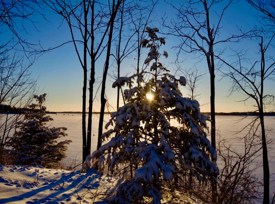
Periods of snow are in the forecast again today.  Amount 5 cm. Wind gusting to 40 km/h near noon. The high zero with temperature falling to minus 6 this afternoon.

A few flurries ending this evening then mainly cloudy overnight with a 40 percent chance of flurries. Wind gusting to 40 km/h. Low minus 16.

Mainly cloudy tomorrow with a 30 percent chance of flurries early in the morning then clearing. Wind gusting to 40 km/h early in the afternoon. High minus 8.

Here are the details of the special weather statement issued by Environment Canada in effect for:

  • Barrie - Collingwood - Hillsdale
  • Midland - Coldwater - Orr Lake
  • Orillia - Lagoon City - Washago

A snowy weekend for much of Southern Ontario.

Periods of snow will continue today but become gradually lighter this afternoon. Further snowfall amounts of 5 to locally 10 centimetres are likely by this evening when the snow should end.

Motorists should allow extra time to reach their destination due to accumulating snow.

The snow affecting Southern Ontario this weekend is courtesy of a low pressure centre currently over Michigan. It will track across Georgian Bay this morning and into southern Quebec by this evening. Although it is a relatively weak system, it has absorbed additional moisture from the Great Lakes to produce a general seasonal snowfall across the region.


Current Weather

Chance of rain showers or flurries

Chance of rain showers or flurries

10.1°C

Pressure
101.1 rising
Dewpoint
5.6 °C
Humidity
74%
Wind
WNW 33 km/h
Gust
43 km/h

Radar Satellite


Hourly Forecast

Today
5 PM
11°C
A mix of sun and cloud
Today
6 PM
10°C
Mainly sunny
Today
7 PM
9°C
Mainly sunny
Today
8 PM
7°C
Partly cloudy
Today
9 PM
6°C
Partly cloudy
Today
10 PM
5°C
Partly cloudy
Today
11 PM
3°C
Partly cloudy
Tomorrow
12 AM
2°C
Partly cloudy
Tomorrow
1 AM
2°C
Mainly cloudy
Tomorrow
2 AM
1°C
Cloudy
Tomorrow
3 AM
1°C
Chance of rain showers or flurries
Tomorrow
4 AM
0°C
Chance of rain showers or flurries

7 Day Forecast

Chance of rain showers or flurries

Tonight

0 °C

Partly cloudy. Becoming cloudy after midnight with 30 percent chance of rain showers or flurries overnight. Wind west 30 km/h gusting to 50 becoming light late this evening. Wind becoming west 20 before morning. Low zero.


Chance of rain showers or flurries

Saturday

7 °C

Cloudy with 30 percent chance of rain showers or flurries. Wind west 30 km/h gusting to 50. High 7. UV index 3 or moderate.


Cloudy

Saturday night

-1 °C

Cloudy. Wind west 30 km/h gusting to 50. Low minus 1.


Sunny

Sunday

10 °C

Sunny. Windy. High 10.


Clear

Sunday night

-3 °C

Clear. Windy. Low minus 3.


Sunny

Monday

9 °C

Sunny. High 9.


Clear

Monday night

1 °C

Clear. Low plus 1.


Chance of showers

Tuesday

13 °C

Cloudy with 60 percent chance of showers. High 13.


Periods of rain

Tuesday night

1 °C

Periods of rain. Low plus 1.


Chance of showers

Wednesday

5 °C

A mix of sun and cloud with 30 percent chance of showers. High plus 5.


Clear

Wednesday night

-6 °C

Clear. Low minus 6.


Sunny

Thursday

11 °C

Sunny. High 11.


Yesterday

Low
5.4 °C
High
9.9 °C
Precipitation
1.9 mm

Normals

Low
1 °C
High
13 °C

Sunrise and Sunset

Sunrise
6:27 AM
Sunset
8:09 PM

Record Values

Type Year Value
Max 2005 28.1 C
Min 2020 -2.9 C
Rainfall 0 mm
Snowfall 0 cm
Precipitation 2019 19.4 mm
Snow On Ground 2018 14.0 cm

Based on Environment Canada data